King's Walden: Cockernhoe Village Sign
Introduction
The photograph on this page of King's Walden: Cockernhoe Village Sign by Nigel Cox as part of the Geograph project.
The Geograph project started in 2005 with the aim of publishing, organising and preserving representative images for every square kilometre of Great Britain, Ireland and the Isle of Man.

There are currently over 7.5m images from over 14,400 individuals and you can help contribute to the project by visiting https://www.geograph.org.uk
King's Walden: Cockernhoe Village Sign
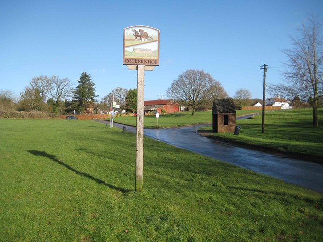
Image: © Nigel Cox Taken: 8 Feb 2014
The Hertfordshire village signs are of a similar ilk around here. Compare with the nearby Image Image is beyond, while the Luton-bound bus stop with its steeply pitched roof is on the right. The Grade II Listed St Hugh's Cottage is in the distance, also on the right.
Images are licensed for reuse under creativecommons.org/licenses/by-sa/2.0
Image Location
Latitude
51.897802
Longitude
-0.366534