South Park
Introduction
The photograph on this page of South Park by Ian Capper as part of the Geograph project.
The Geograph project started in 2005 with the aim of publishing, organising and preserving representative images for every square kilometre of Great Britain, Ireland and the Isle of Man.

There are currently over 7.5m images from over 14,400 individuals and you can help contribute to the project by visiting https://www.geograph.org.uk
South Park
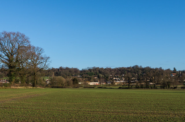
Image: © Ian Capper Taken: 1 Feb 2014
Looking across to the South Park area of Reigate from Slipshatch Road. In the background is Park Hill and on the far right of the photo is St Luke's Church.
Images are licensed for reuse under creativecommons.org/licenses/by-sa/2.0
Image Location
Latitude
51.222216
Longitude
-0.214332