Road closed
Introduction
The photograph on this page of Road closed by Robert Ashby as part of the Geograph project.
The Geograph project started in 2005 with the aim of publishing, organising and preserving representative images for every square kilometre of Great Britain, Ireland and the Isle of Man.

There are currently over 7.5m images from over 14,400 individuals and you can help contribute to the project by visiting https://www.geograph.org.uk
Road closed
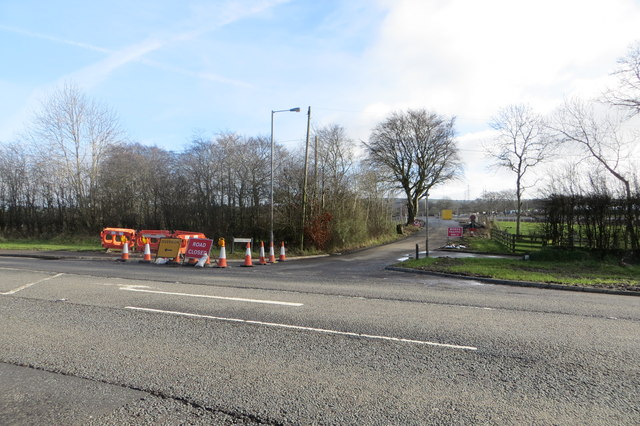
Image: © Robert Ashby Taken: 6 Feb 2014
The Lisglass Road near Straid is one of several in the area which have been temporarily closed to traffic during the construction of the new A8 Larne Road widening scheme.
Images are licensed for reuse under creativecommons.org/licenses/by-sa/2.0
Image Location
Latitude
54.731973
Longitude
-5.965287