NE side of the former Aberdare (High Level) railway station
Introduction
The photograph on this page of NE side of the former Aberdare (High Level) railway station by Jaggery as part of the Geograph project.
The Geograph project started in 2005 with the aim of publishing, organising and preserving representative images for every square kilometre of Great Britain, Ireland and the Isle of Man.

There are currently over 7.5m images from over 14,400 individuals and you can help contribute to the project by visiting https://www.geograph.org.uk
NE side of the former Aberdare (High Level) railway station
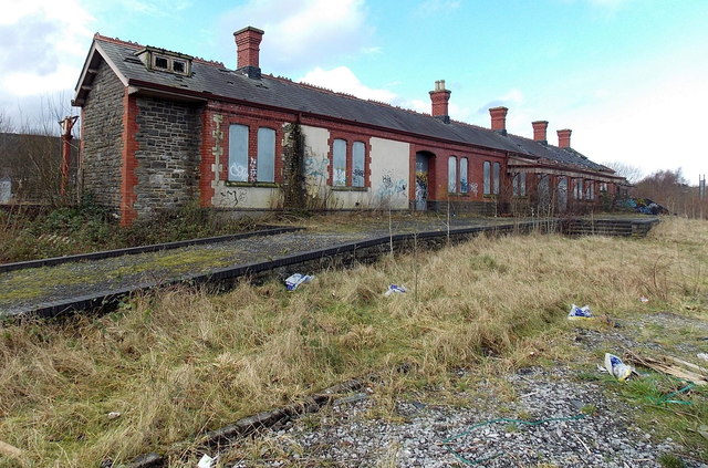
Image: © Jaggery Taken: 4 Feb 2014
http://www.geograph.org.uk/photo/3840712 to a view of the other side, which faces a track currently (early 2014) for freight only.
Images are licensed for reuse under creativecommons.org/licenses/by-sa/2.0
Image Location
Latitude
51.715502
Longitude
-3.443387