Ffarm Llwyn y Domen Farm
Introduction
The photograph on this page of Ffarm Llwyn y Domen Farm by Alan Richards as part of the Geograph project.
The Geograph project started in 2005 with the aim of publishing, organising and preserving representative images for every square kilometre of Great Britain, Ireland and the Isle of Man.

There are currently over 7.5m images from over 14,400 individuals and you can help contribute to the project by visiting https://www.geograph.org.uk
Ffarm Llwyn y Domen Farm
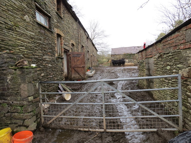
Image: © Alan Richards Taken: 7 Feb 2014
Llwybr cyhoeddus yn cyrraedd clos mwdlyd Ffarm Llwyn Domen, Craig Cefn Parc. Footpath approaching the muddy yard of Llwyn y Domen Farm (trans. Mound Grove), Craig Cefn Parc (trans. field ridge rock).
Images are licensed for reuse under creativecommons.org/licenses/by-sa/2.0
Image Location
Latitude
51.70394
Longitude
-3.923788