Twisel Burn and path, Holywood
Introduction
The photograph on this page of Twisel Burn and path, Holywood by Albert Bridge as part of the Geograph project.
The Geograph project started in 2005 with the aim of publishing, organising and preserving representative images for every square kilometre of Great Britain, Ireland and the Isle of Man.

There are currently over 7.5m images from over 14,400 individuals and you can help contribute to the project by visiting https://www.geograph.org.uk
Twisel Burn and path, Holywood
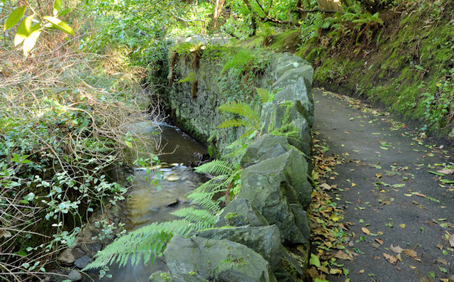
Image: © Albert Bridge Taken: 7 Feb 2014
The Twisel Burn, at a much lower level than this view Image in October 2013, looking upstream. The path leads to here Image and the Victoria Road.
Images are licensed for reuse under creativecommons.org/licenses/by-sa/2.0
Image Location
Latitude
54.640489
Longitude
-5.824708