Llwybr ger Pentrehardd / Path near Pentrehardd
Introduction
The photograph on this page of Llwybr ger Pentrehardd / Path near Pentrehardd by Alan Richards as part of the Geograph project.
The Geograph project started in 2005 with the aim of publishing, organising and preserving representative images for every square kilometre of Great Britain, Ireland and the Isle of Man.

There are currently over 7.5m images from over 14,400 individuals and you can help contribute to the project by visiting https://www.geograph.org.uk
Llwybr ger Pentrehardd / Path near Pentrehardd
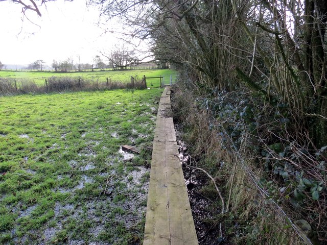
Image: © Alan Richards Taken: 7 Feb 2014
Estyll ar lwybr cyhoeddus mewn llecyn gwlyb iawn ger Ffarm Pentrehardd. Yn wreiddiol âi'r llwybr drwy'r ffarm honno. Planks laid on a very wet section of footpath near Pentrehardd Farm (trans. pretty farm?). Originally the path passed through the farmyard.
Images are licensed for reuse under creativecommons.org/licenses/by-sa/2.0
Image Location
Latitude
51.748662
Longitude
-4.044483