Derelict site, College Road
Introduction
The photograph on this page of Derelict site, College Road by John Baker as part of the Geograph project.
The Geograph project started in 2005 with the aim of publishing, organising and preserving representative images for every square kilometre of Great Britain, Ireland and the Isle of Man.

There are currently over 7.5m images from over 14,400 individuals and you can help contribute to the project by visiting https://www.geograph.org.uk
Derelict site, College Road
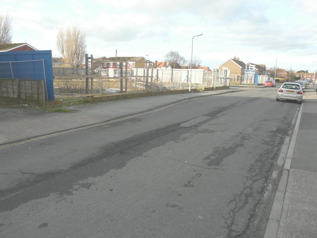
Image: © John Baker Taken: 27 Jan 2014
This site, which was formerly occupied by Bede and Dunstan Houses (residential homes), is to be developed. Planning permission has been granted by Dover District Council under application number DOV/13/00522 for the “erection of 16 dwellings, cycle and bin stores, construction of access road and vehicular access, associated car parking and landscaping”.
Images are licensed for reuse under creativecommons.org/licenses/by-sa/2.0
Image Location
Latitude
51.234277
Longitude
1.401051