40 - 44 The Marina
Introduction
The photograph on this page of 40 - 44 The Marina by Ian Capper as part of the Geograph project.
The Geograph project started in 2005 with the aim of publishing, organising and preserving representative images for every square kilometre of Great Britain, Ireland and the Isle of Man.

There are currently over 7.5m images from over 14,400 individuals and you can help contribute to the project by visiting https://www.geograph.org.uk
40 - 44 The Marina
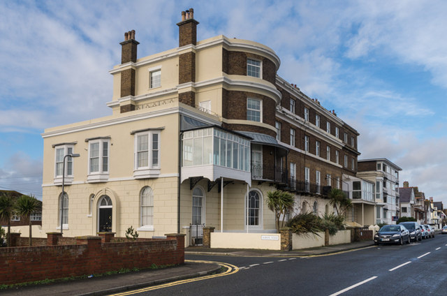
Image: © Ian Capper Taken: 25 Jan 2014
Old maps suggest that this building was one of the earliest on The Marina, being shown on the 1872 1:2500 map as Sandown Terrace.
Images are licensed for reuse under creativecommons.org/licenses/by-sa/2.0
Image Location
Latitude
51.232509
Longitude
1.403987