Road and adjacent path in Glasbury
Introduction
The photograph on this page of Road and adjacent path in Glasbury by Trevor Littlewood as part of the Geograph project.
The Geograph project started in 2005 with the aim of publishing, organising and preserving representative images for every square kilometre of Great Britain, Ireland and the Isle of Man.

There are currently over 7.5m images from over 14,400 individuals and you can help contribute to the project by visiting https://www.geograph.org.uk
Road and adjacent path in Glasbury
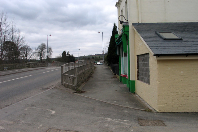
Image: © Trevor Littlewood Taken: 8 Mar 2005
The path and road (A438) are approaching Glasbury Bridge over the River Wye at Glasbury, a village which appears to be in both England and Wales, (the river being the boundary). The view is from the English side where the village post office is in view.
Images are licensed for reuse under creativecommons.org/licenses/by-sa/2.0
Image Location
Latitude
52.045378
Longitude
-3.196771