Approaching Treletert/Letterston from the northwest
Introduction
The photograph on this page of Approaching Treletert/Letterston from the northwest by Natasha Ceridwen de Chroustchoff as part of the Geograph project.
The Geograph project started in 2005 with the aim of publishing, organising and preserving representative images for every square kilometre of Great Britain, Ireland and the Isle of Man.

There are currently over 7.5m images from over 14,400 individuals and you can help contribute to the project by visiting https://www.geograph.org.uk
Approaching Treletert/Letterston from the northwest
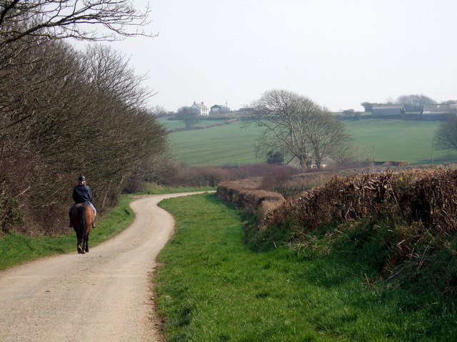
Image: © Natasha Ceridwen de Chroustchoff Taken: 31 Mar 2007
The rider is heading towards the crossroads called Black Gate, with the buildings above being outliers of the village and close to the A40 road towards Fishguard.
Images are licensed for reuse under creativecommons.org/licenses/by-sa/2.0
Image Location


Leaflet Map data © OpenStreetMap
Latitude
51.937378
Longitude
-5.005448