Frimley fishing lakes
Introduction
The photograph on this page of Frimley fishing lakes by Alan Hunt as part of the Geograph project.
The Geograph project started in 2005 with the aim of publishing, organising and preserving representative images for every square kilometre of Great Britain, Ireland and the Isle of Man.

There are currently over 7.5m images from over 14,400 individuals and you can help contribute to the project by visiting https://www.geograph.org.uk
Frimley fishing lakes
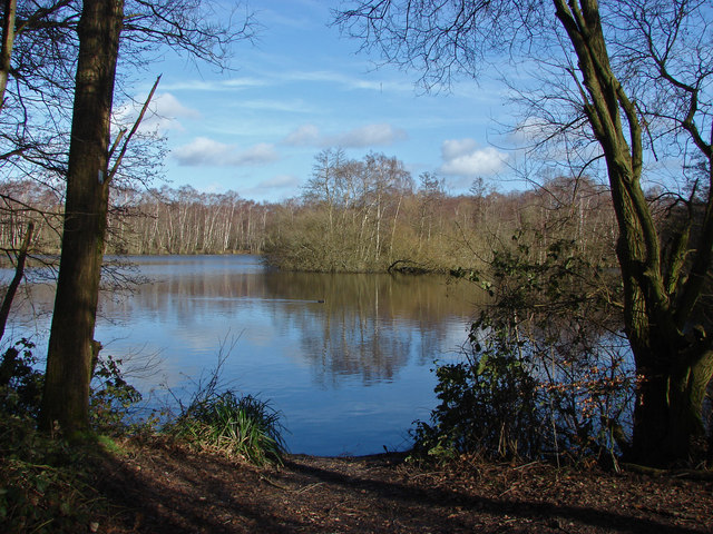
Image: © Alan Hunt Taken: 2 Feb 2014
The disused gravel pits in the Blackwater Valley now used as a private fishing lake.
Images are licensed for reuse under creativecommons.org/licenses/by-sa/2.0
Image Location


Leaflet Map data © OpenStreetMap
Latitude
51.305172
Longitude
-0.741292