Bluestone Heath Road and nuclear bunker: aerial 2014
Introduction
The photograph on this page of Bluestone Heath Road and nuclear bunker: aerial 2014 by Chris as part of the Geograph project.
The Geograph project started in 2005 with the aim of publishing, organising and preserving representative images for every square kilometre of Great Britain, Ireland and the Isle of Man.

There are currently over 7.5m images from over 14,400 individuals and you can help contribute to the project by visiting https://www.geograph.org.uk
Bluestone Heath Road and nuclear bunker: aerial 2014
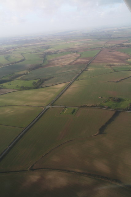
Image: © Chris Taken: 2 Feb 2014
The Bluestone Heath Road is a Roman Road which runs along the top of the Lincolnshire Wolds. In the centre is a buried reservoir, next to it on the right, on this road to Claxby St. Andrew, is a former NATO nuclear bunker.
Images are licensed for reuse under creativecommons.org/licenses/by-sa/2.0
Image Location
Latitude
53.213032
Longitude
0.155719