Footpath from Hoole Lane to Pentland Close, and a bench mark
Introduction
The photograph on this page of Footpath from Hoole Lane to Pentland Close, and a bench mark by John S Turner as part of the Geograph project.
The Geograph project started in 2005 with the aim of publishing, organising and preserving representative images for every square kilometre of Great Britain, Ireland and the Isle of Man.

There are currently over 7.5m images from over 14,400 individuals and you can help contribute to the project by visiting https://www.geograph.org.uk
Footpath from Hoole Lane to Pentland Close, and a bench mark
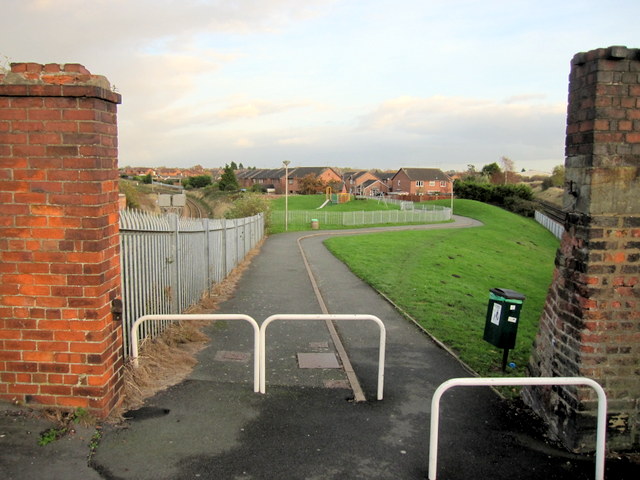
Image: © John S Turner Taken: 25 Nov 2011
This footpath provides access from Hoole Lane to a playground and the modern housing in Pentland Close. There is an Ordnance Survey bench mark on the inner face of the left hand brick pier - Image
Images are licensed for reuse under creativecommons.org/licenses/by-sa/2.0
Image Location
Latitude
53.194919
Longitude
-2.870352