Lower Market Street
Introduction
The photograph on this page of Lower Market Street by Simon Carey as part of the Geograph project.
The Geograph project started in 2005 with the aim of publishing, organising and preserving representative images for every square kilometre of Great Britain, Ireland and the Isle of Man.

There are currently over 7.5m images from over 14,400 individuals and you can help contribute to the project by visiting https://www.geograph.org.uk
Lower Market Street
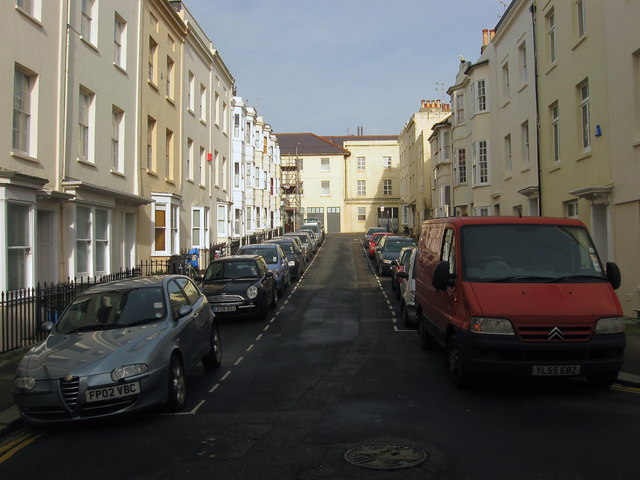
Image: © Simon Carey Taken: 25 Jan 2014
Running from Waterloo Street up the Old Market building, the street was erected at the end of the 1830s.
Images are licensed for reuse under creativecommons.org/licenses/by-sa/2.0
Image Location
Latitude
50.824224
Longitude
-0.157515