The M48, with seasonal flooding beyond
Introduction
The photograph on this page of The M48, with seasonal flooding beyond by Ruth Sharville as part of the Geograph project.
The Geograph project started in 2005 with the aim of publishing, organising and preserving representative images for every square kilometre of Great Britain, Ireland and the Isle of Man.

There are currently over 7.5m images from over 14,400 individuals and you can help contribute to the project by visiting https://www.geograph.org.uk
The M48, with seasonal flooding beyond
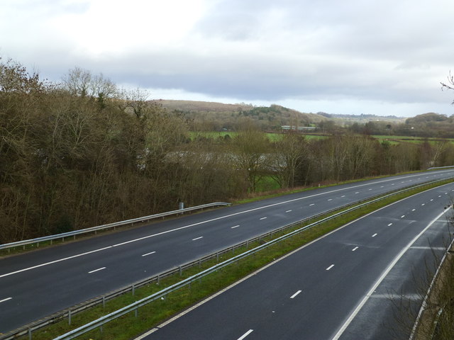
Image: © Ruth Sharville Taken: 2 Feb 2014
It is usual to see flooded fields in this area in the winter, but the extent of the flooding this year (early 2014) has been massive owing to the extraordinary amount of rainfall. The fields are grazed in summer.
Images are licensed for reuse under creativecommons.org/licenses/by-sa/2.0
Image Location
Latitude
51.602725
Longitude
-2.753798