St. Ives: Zion Community Church
Introduction
The photograph on this page of St. Ives: Zion Community Church by Chris Downer as part of the Geograph project.
The Geograph project started in 2005 with the aim of publishing, organising and preserving representative images for every square kilometre of Great Britain, Ireland and the Isle of Man.

There are currently over 7.5m images from over 14,400 individuals and you can help contribute to the project by visiting https://www.geograph.org.uk
St. Ives: Zion Community Church
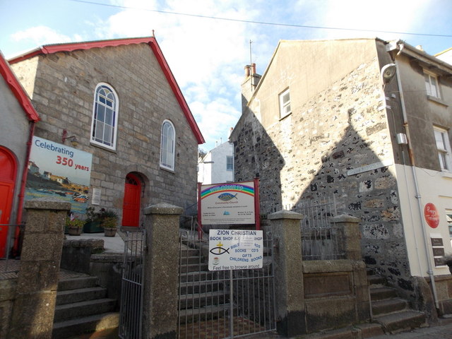
Image: © Chris Downer Taken: 14 Oct 2013
A chapel on Fore Street, in the heart of town. Salubrious Place is the flight of steps ascending alongside it.
Images are licensed for reuse under creativecommons.org/licenses/by-sa/2.0
Image Location
Latitude
50.214116
Longitude
-5.480623