Byway across Warrington Common
Introduction
The photograph on this page of Byway across Warrington Common by michael ely as part of the Geograph project.
The Geograph project started in 2005 with the aim of publishing, organising and preserving representative images for every square kilometre of Great Britain, Ireland and the Isle of Man.

There are currently over 7.5m images from over 14,400 individuals and you can help contribute to the project by visiting https://www.geograph.org.uk
Byway across Warrington Common
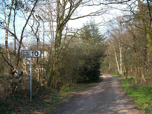
Image: © michael ely Taken: 31 Mar 2007
This short section of byway (about 300 metres in length) links King's Lane with Northwich Road to the south of Rudheath Woods.
Images are licensed for reuse under creativecommons.org/licenses/by-sa/2.0
Image Location
Latitude
53.227037
Longitude
-2.388968