Canal, path and road, Rogerstone, Newport
Introduction
The photograph on this page of Canal, path and road, Rogerstone, Newport by Jaggery as part of the Geograph project.
The Geograph project started in 2005 with the aim of publishing, organising and preserving representative images for every square kilometre of Great Britain, Ireland and the Isle of Man.

There are currently over 7.5m images from over 14,400 individuals and you can help contribute to the project by visiting https://www.geograph.org.uk
Canal, path and road, Rogerstone, Newport
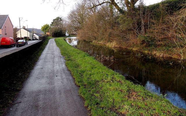
Image: © Jaggery Taken: 23 Jan 2014
For about 100 metres, near the Rising Sun, http://www.geograph.org.uk/photo/3826479 the course of the disused Crumlin Arm of the Monmouthshire & Brecon Canal is alongside the B4591 Cefn Road. The former canal towpath is now a public footpath and cycleway.
Images are licensed for reuse under creativecommons.org/licenses/by-sa/2.0
Image Location
Latitude
51.590583
Longitude
-3.047209