Bridge and culvert, Dundonald
Introduction
The photograph on this page of Bridge and culvert, Dundonald by Albert Bridge as part of the Geograph project.
The Geograph project started in 2005 with the aim of publishing, organising and preserving representative images for every square kilometre of Great Britain, Ireland and the Isle of Man.

There are currently over 7.5m images from over 14,400 individuals and you can help contribute to the project by visiting https://www.geograph.org.uk
Bridge and culvert, Dundonald
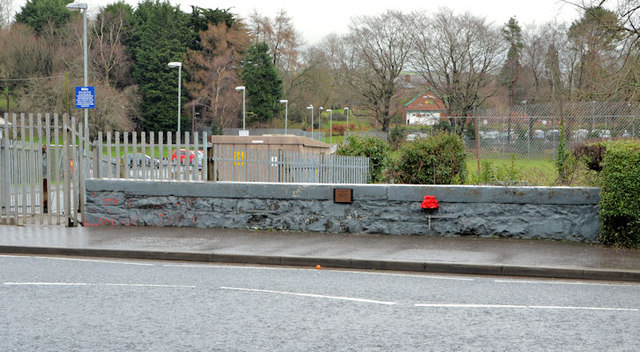
Image: © Albert Bridge Taken: 29 Jan 2014
The bridge carrying the Comber Road across this stream Image The section behind me is culverted back to the Eastlink Road.
Images are licensed for reuse under creativecommons.org/licenses/by-sa/2.0
Image Location
Latitude
54.590755
Longitude
-5.807246