Glengap
Introduction
The photograph on this page of Glengap by Andy Farrington as part of the Geograph project.
The Geograph project started in 2005 with the aim of publishing, organising and preserving representative images for every square kilometre of Great Britain, Ireland and the Isle of Man.

There are currently over 7.5m images from over 14,400 individuals and you can help contribute to the project by visiting https://www.geograph.org.uk
Glengap
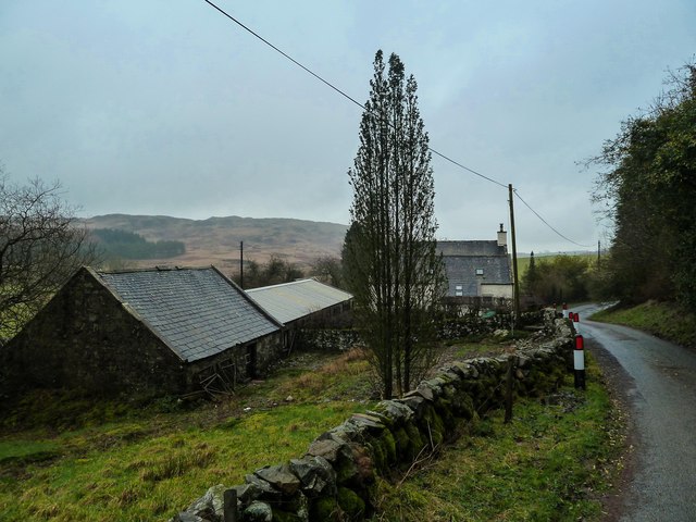
Image: © Andy Farrington Taken: 28 Jan 2014
View of the farm that is about 5km from the A75 by the Fore Hill of Glengap.
Images are licensed for reuse under creativecommons.org/licenses/by-sa/2.0
Image Location
Latitude
54.910072
Longitude
-4.104213