The Comber Greenway, Dundonald (9)
Introduction
The photograph on this page of The Comber Greenway, Dundonald (9) by Albert Bridge as part of the Geograph project.
The Geograph project started in 2005 with the aim of publishing, organising and preserving representative images for every square kilometre of Great Britain, Ireland and the Isle of Man.

There are currently over 7.5m images from over 14,400 individuals and you can help contribute to the project by visiting https://www.geograph.org.uk
The Comber Greenway, Dundonald (9)
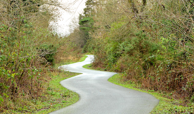
Image: © Albert Bridge Taken: 29 Jan 2014
Further on towards the site of Dundonald station, looking back towards here Image, the path passes through an area where the south western side is particularly damp. The squiggles are more exaggerated than in the previous photograph.
Images are licensed for reuse under creativecommons.org/licenses/by-sa/2.0
Image Location
Latitude
54.587838
Longitude
-5.804928