The Delph seen from Goretop Lane
Introduction
The photograph on this page of The Delph seen from Goretop Lane by Marathon as part of the Geograph project.
The Geograph project started in 2005 with the aim of publishing, organising and preserving representative images for every square kilometre of Great Britain, Ireland and the Isle of Man.

There are currently over 7.5m images from over 14,400 individuals and you can help contribute to the project by visiting https://www.geograph.org.uk
The Delph seen from Goretop Lane
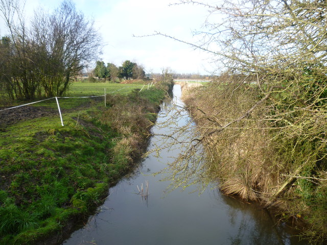
Image: © Marathon Taken: 25 Jan 2014
This drainage ditch is called The Delph and is seen here from the White Cliffs Country Trail which follows Goretop Lane here. The White Cliffs Trails were created in 1987 by Dover District Council to link the towns of Dover, Deal and Sandwich, going along the white cliffs to the east of Dover to Deal with an inland return through the Kent countryside to include Sandwich. See http://www.bertuchi.co.uk/whitecliff03.php for some photographs of this part of the Trail. Other photographs of the Delph can be seen at http://www.geograph.org.uk/photo/3827803 and http://www.geograph.org.uk/photo/3827854
Images are licensed for reuse under creativecommons.org/licenses/by-sa/2.0
Image Location
Latitude
51.261422
Longitude
1.358182