Aberbargoed Community Fire and Rescue Station
Introduction
The photograph on this page of Aberbargoed Community Fire and Rescue Station by Robin Drayton as part of the Geograph project.
The Geograph project started in 2005 with the aim of publishing, organising and preserving representative images for every square kilometre of Great Britain, Ireland and the Isle of Man.

There are currently over 7.5m images from over 14,400 individuals and you can help contribute to the project by visiting https://www.geograph.org.uk
Aberbargoed Community Fire and Rescue Station
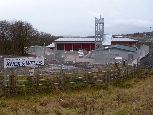
Image: © Robin Drayton Taken: 23 Jan 2014
A new fire station to the south of Aberbargoed is nearing completion. It will eventually replace the existing fire stations in Cefn Forest http://www.geograph.org.uk/photo/467196 and Bargoed http://www.geograph.org.uk/photo/467177 .
Images are licensed for reuse under creativecommons.org/licenses/by-sa/2.0
Image Location
Latitude
51.68442
Longitude
-3.218617