OS Flush Bracket G2200, former Bridgnorth council offices
Introduction
The photograph on this page of OS Flush Bracket G2200, former Bridgnorth council offices by Richard Law as part of the Geograph project.
The Geograph project started in 2005 with the aim of publishing, organising and preserving representative images for every square kilometre of Great Britain, Ireland and the Isle of Man.

There are currently over 7.5m images from over 14,400 individuals and you can help contribute to the project by visiting https://www.geograph.org.uk
OS Flush Bracket G2200, former Bridgnorth council offices
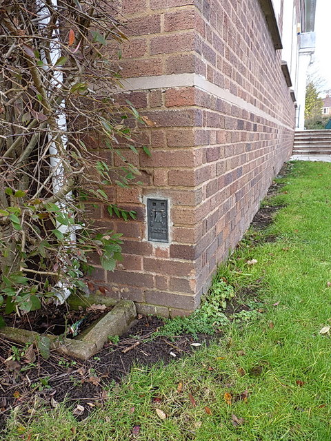
Image: © Richard Law Taken: 25 Jan 2014
OS Flush Bracket G2200 on the south-facing wall of the former District Council offices on Ludlow Road. Originally levelled at 76.443m above Ordnance Datum Newlyn, and used during the 3rd Geodetic Levelling of England and Wales between 1950 - 1968.
Images are licensed for reuse under creativecommons.org/licenses/by-sa/2.0
Image Location
Latitude
52.535843
Longitude
-2.430181