Guildhall Street, Canterbury
Introduction
The photograph on this page of Guildhall Street, Canterbury by Peter Trimming as part of the Geograph project.
The Geograph project started in 2005 with the aim of publishing, organising and preserving representative images for every square kilometre of Great Britain, Ireland and the Isle of Man.

There are currently over 7.5m images from over 14,400 individuals and you can help contribute to the project by visiting https://www.geograph.org.uk
Guildhall Street, Canterbury
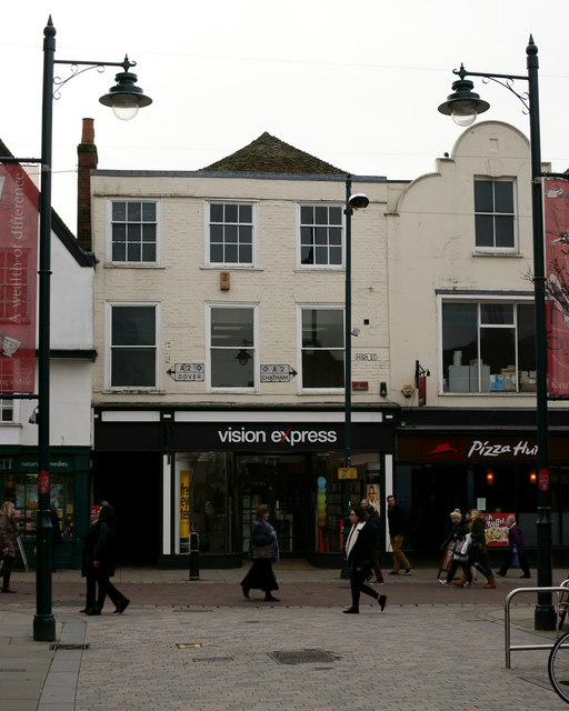
Image: © Peter Trimming Taken: 20 Jan 2014
Looking towards the High Street. Note that the High Street was formerly the busy A2 from London to Dover. The A2 has now been diverted to the south of the city.
Images are licensed for reuse under creativecommons.org/licenses/by-sa/2.0
Image Location
Latitude
51.279165
Longitude
1.079523