Tafarn y New Inn
Introduction
The photograph on this page of Tafarn y New Inn by Alan Richards as part of the Geograph project.
The Geograph project started in 2005 with the aim of publishing, organising and preserving representative images for every square kilometre of Great Britain, Ireland and the Isle of Man.

There are currently over 7.5m images from over 14,400 individuals and you can help contribute to the project by visiting https://www.geograph.org.uk
Tafarn y New Inn
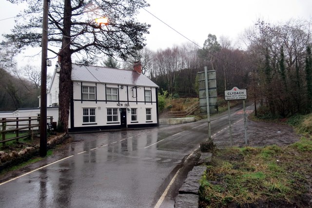
Image: © Alan Richards Taken: 26 Jan 2014
Tafarn y New Inn a saif rhwng cyn pentre glofaol Craig Cefn Parc a thre Clydach. The New Inn public house located between the former mining village of Craig Cefn Parc and the larger settlement of Clydach.
Images are licensed for reuse under creativecommons.org/licenses/by-sa/2.0
Image Location
Latitude
51.706571
Longitude
-3.905808