Road bridge over the Aurs Burn
Introduction
The photograph on this page of Road bridge over the Aurs Burn by Alec MacKinnon as part of the Geograph project.
The Geograph project started in 2005 with the aim of publishing, organising and preserving representative images for every square kilometre of Great Britain, Ireland and the Isle of Man.

There are currently over 7.5m images from over 14,400 individuals and you can help contribute to the project by visiting https://www.geograph.org.uk
Road bridge over the Aurs Burn
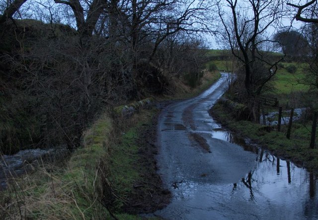
Image: © Alec MacKinnon Taken: 26 Jan 2014
The Aurs Burn flows out of Glanderston Dam and downhill towards Barrhead. Here it passes under the single-track road that passes Glanderston Mains farm.
Images are licensed for reuse under creativecommons.org/licenses/by-sa/2.0
Image Location
Latitude
55.77861
Longitude
-4.391433