Rugby Radio Station
Introduction
The photograph on this page of Rugby Radio Station by Ian Rob as part of the Geograph project.
The Geograph project started in 2005 with the aim of publishing, organising and preserving representative images for every square kilometre of Great Britain, Ireland and the Isle of Man.

There are currently over 7.5m images from over 14,400 individuals and you can help contribute to the project by visiting https://www.geograph.org.uk
Rugby Radio Station
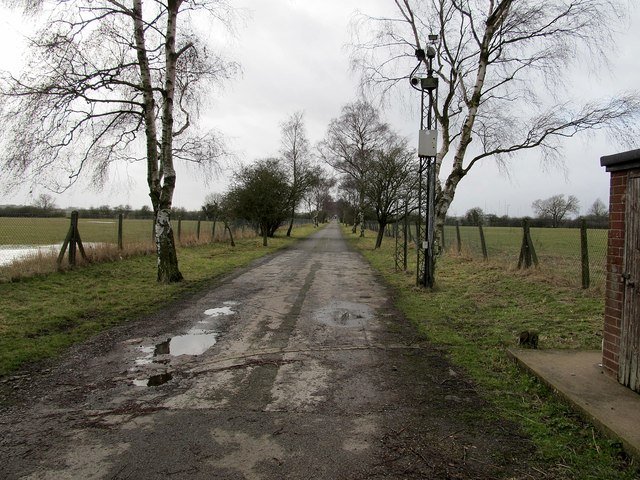
Image: © Ian Rob Taken: 25 Jan 2014
The road leading down to C Building on this BT Site. Much of this land is now earmarked for housing.
Images are licensed for reuse under creativecommons.org/licenses/by-sa/2.0
Image Location
Latitude
52.369307
Longitude
-1.180693