West on Paddons Lane, Teignmouth
Introduction
The photograph on this page of West on Paddons Lane, Teignmouth by Robin Stott as part of the Geograph project.
The Geograph project started in 2005 with the aim of publishing, organising and preserving representative images for every square kilometre of Great Britain, Ireland and the Isle of Man.

There are currently over 7.5m images from over 14,400 individuals and you can help contribute to the project by visiting https://www.geograph.org.uk
West on Paddons Lane, Teignmouth
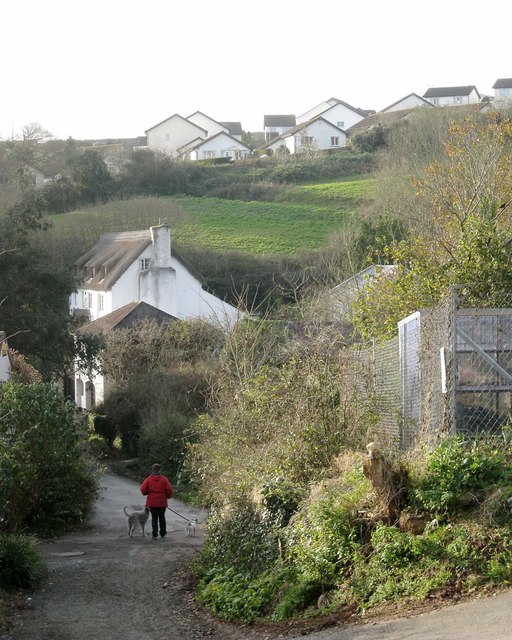
Image: © Robin Stott Taken: 11 Dec 2012
The former Higher Coombe Farm is on the left. The Moor View Drive estate climbs the hill in Image
Images are licensed for reuse under creativecommons.org/licenses/by-sa/2.0
Image Location
Latitude
50.557208
Longitude
-3.510623