Neckinger, Bermondsey
Introduction
The photograph on this page of Neckinger, Bermondsey by Stephen Craven as part of the Geograph project.
The Geograph project started in 2005 with the aim of publishing, organising and preserving representative images for every square kilometre of Great Britain, Ireland and the Isle of Man.

There are currently over 7.5m images from over 14,400 individuals and you can help contribute to the project by visiting https://www.geograph.org.uk
Neckinger, Bermondsey
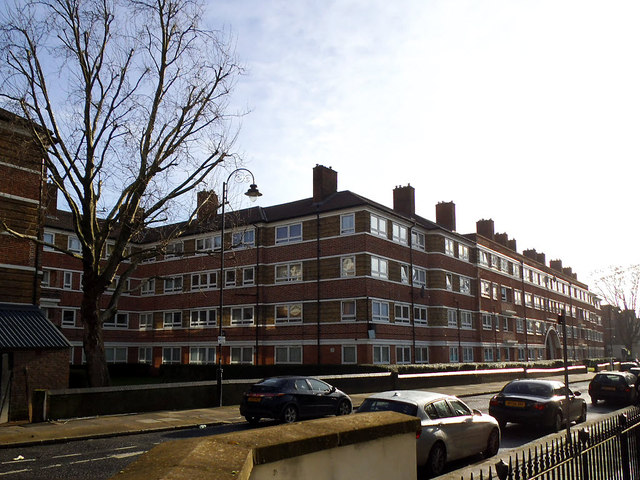
Image: © Stephen Craven Taken: 25 Jan 2014
Neckinger. Not so much the name of a street as of the river that flows underground beneath Abbey Street at this end, as part of its 2.6 mile journey under South London. The Neckinger joins the Thames at St Saviour’s Dock. The watercourse provided a water supply for tanneries and factories. One of the largest leather factories in Bermondsey was Bevington’s Neckinger Mills on Abbey Street Image The housing shown here is typical of the old LCC (London County Council) estates.
Images are licensed for reuse under creativecommons.org/licenses/by-sa/2.0
Image Location
Latitude
51.497351
Longitude
-0.073735