Flood plain
Introduction
The photograph on this page of Flood plain by chris whitehouse as part of the Geograph project.
The Geograph project started in 2005 with the aim of publishing, organising and preserving representative images for every square kilometre of Great Britain, Ireland and the Isle of Man.

There are currently over 7.5m images from over 14,400 individuals and you can help contribute to the project by visiting https://www.geograph.org.uk
Flood plain
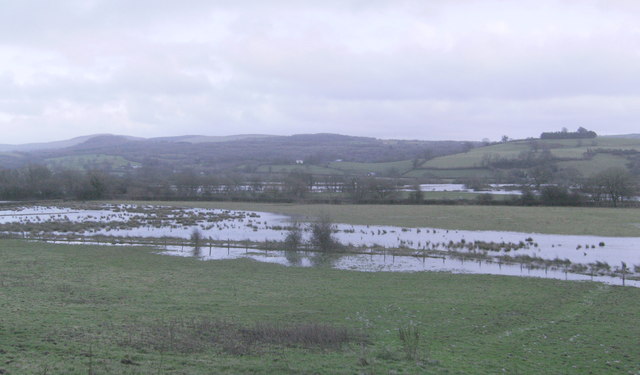
Image: © chris whitehouse Taken: 2 Jan 2014
Just outside of Rhosmaen, the rail line is behind the line of hedging, and the Afon Tywi is beyond.
Images are licensed for reuse under creativecommons.org/licenses/by-sa/2.0
Image Location
Latitude
51.894392
Longitude
-3.978133