Spring Bank
Introduction
The photograph on this page of Spring Bank by Christopher Hall as part of the Geograph project.
The Geograph project started in 2005 with the aim of publishing, organising and preserving representative images for every square kilometre of Great Britain, Ireland and the Isle of Man.

There are currently over 7.5m images from over 14,400 individuals and you can help contribute to the project by visiting https://www.geograph.org.uk
Spring Bank
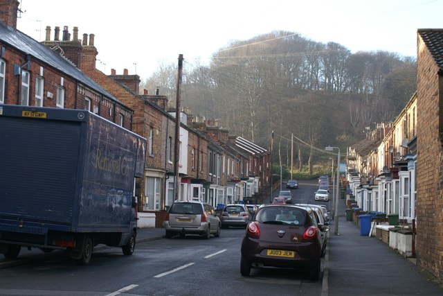
Image: © Christopher Hall Taken: 20 Jan 2014
Spring bank is a street mostly of fairly modest bye-law housing of about 1880 which runs off Seamer Road. there are some 1960s flats at the top end. The view is terminated by the wooded slopes of Falsgrave Park where the springs are to which the street name refers.
Images are licensed for reuse under creativecommons.org/licenses/by-sa/2.0
Image Location
Latitude
54.272583
Longitude
-0.418114