Site of Abercorn Station
Introduction
The photograph on this page of Site of Abercorn Station by Thomas Nugent as part of the Geograph project.
The Geograph project started in 2005 with the aim of publishing, organising and preserving representative images for every square kilometre of Great Britain, Ireland and the Isle of Man.

There are currently over 7.5m images from over 14,400 individuals and you can help contribute to the project by visiting https://www.geograph.org.uk
Site of Abercorn Station
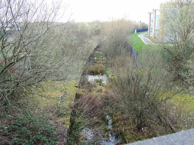
Image: © Thomas Nugent Taken: 29 Mar 2007
Viewed from the overbridge on Renfrew Road. The line ran from Paisley to Renfrew Wharf and was closed in 1967.
Images are licensed for reuse under creativecommons.org/licenses/by-sa/2.0
Image Location
Latitude
55.852397
Longitude
-4.419133