Western end of Benedict Close, Teignmouth
Introduction
The photograph on this page of Western end of Benedict Close, Teignmouth by Robin Stott as part of the Geograph project.
The Geograph project started in 2005 with the aim of publishing, organising and preserving representative images for every square kilometre of Great Britain, Ireland and the Isle of Man.

There are currently over 7.5m images from over 14,400 individuals and you can help contribute to the project by visiting https://www.geograph.org.uk
Western end of Benedict Close, Teignmouth
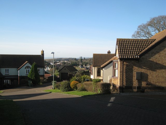
Image: © Robin Stott Taken: 10 Dec 2012
Benedict Close is a couple of closes off Highgrove Park, residential development on a steep hillside. A former hedgerow oak has been retained, upper right, revealing the puny scle of the houses. There is a glimpse of older development among the now-mature evergreen trees planted by the Victorians. In the far distance is southern Dartmoor.
Images are licensed for reuse under creativecommons.org/licenses/by-sa/2.0
Image Location
Latitude
50.557529
Longitude
-3.492703