Roman Site at Girvan Mains
Introduction
The photograph on this page of Roman Site at Girvan Mains by Mary and Angus Hogg as part of the Geograph project.
The Geograph project started in 2005 with the aim of publishing, organising and preserving representative images for every square kilometre of Great Britain, Ireland and the Isle of Man.

There are currently over 7.5m images from over 14,400 individuals and you can help contribute to the project by visiting https://www.geograph.org.uk
Roman Site at Girvan Mains
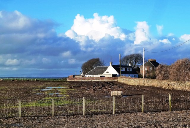
Image: © Mary and Angus Hogg Taken: 19 Jan 2014
The land around Girvan Mains contains the site of a Roman marching camp, which was discovered during road realignment works during the 1970s. Apparently it's just about visible from the air but there's nothing to see from the surface.
Images are licensed for reuse under creativecommons.org/licenses/by-sa/2.0
Image Location
Latitude
55.252375
Longitude
-4.846612