Mill Pond from Mill Bridge, Pembroke
Introduction
The photograph on this page of Mill Pond from Mill Bridge, Pembroke by Jaggery as part of the Geograph project.
The Geograph project started in 2005 with the aim of publishing, organising and preserving representative images for every square kilometre of Great Britain, Ireland and the Isle of Man.

There are currently over 7.5m images from over 14,400 individuals and you can help contribute to the project by visiting https://www.geograph.org.uk
Mill Pond from Mill Bridge, Pembroke
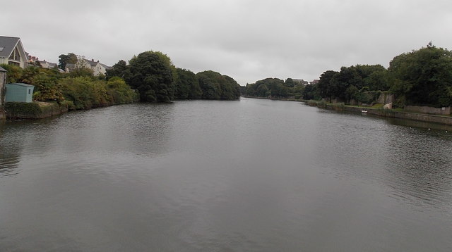
Image: © Jaggery Taken: 12 Sep 2013
Rather a large body of water for a pond! It extends for about 650 metres from this side of Mill Bridge and averages about 80 metres wide.
Images are licensed for reuse under creativecommons.org/licenses/by-sa/2.0
Image Location
Latitude
51.675932
Longitude
-4.908818