Late 17th century house, Forge Road, Tintern
Introduction
The photograph on this page of Late 17th century house, Forge Road, Tintern by Jaggery as part of the Geograph project.
The Geograph project started in 2005 with the aim of publishing, organising and preserving representative images for every square kilometre of Great Britain, Ireland and the Isle of Man.

There are currently over 7.5m images from over 14,400 individuals and you can help contribute to the project by visiting https://www.geograph.org.uk
Late 17th century house, Forge Road, Tintern
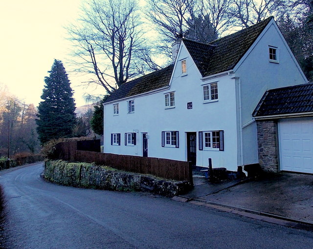
Image: © Jaggery Taken: 19 Jan 2014
A small black tablet above the doorway on the right shows EF 1699. This is the former Lower Wireworks house, now in residential use.
Images are licensed for reuse under creativecommons.org/licenses/by-sa/2.0
Image Location
Latitude
51.697734
Longitude
-2.685346