Norwood level crossing
Introduction
The photograph on this page of Norwood level crossing by Graham Hogg as part of the Geograph project.
The Geograph project started in 2005 with the aim of publishing, organising and preserving representative images for every square kilometre of Great Britain, Ireland and the Isle of Man.

There are currently over 7.5m images from over 14,400 individuals and you can help contribute to the project by visiting https://www.geograph.org.uk
Norwood level crossing
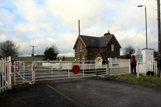
Image: © Graham Hogg Taken: 17 Jan 2014
On Mag Lane, the crossing is on the Robin Hood Line between Worksop and Nottingham.
Images are licensed for reuse under creativecommons.org/licenses/by-sa/2.0
Image Location
Latitude
53.243049
Longitude
-1.212209