Pont Droed Dros Gangen Bryngwyn / Footbridge Over The Bryngwyn Branch
Introduction
The photograph on this page of Pont Droed Dros Gangen Bryngwyn / Footbridge Over The Bryngwyn Branch by Ceri Thomas as part of the Geograph project.
The Geograph project started in 2005 with the aim of publishing, organising and preserving representative images for every square kilometre of Great Britain, Ireland and the Isle of Man.

There are currently over 7.5m images from over 14,400 individuals and you can help contribute to the project by visiting https://www.geograph.org.uk
Pont Droed Dros Gangen Bryngwyn / Footbridge Over The Bryngwyn Branch
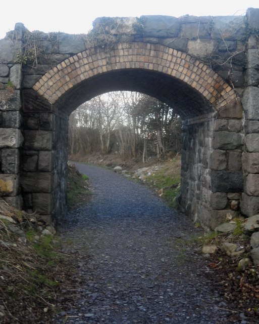
Image: © Ceri Thomas Taken: 19 Jan 2014
This bridge looks as though it was built to carry light traffic, but is shown as being only a footbridge on old Ordnance Survey maps.
Images are licensed for reuse under creativecommons.org/licenses/by-sa/2.0
Image Location
Latitude
53.096393
Longitude
-4.24435