Former Shearmans Arms in Wotton-under-Edge
Introduction
The photograph on this page of Former Shearmans Arms in Wotton-under-Edge by Jaggery as part of the Geograph project.
The Geograph project started in 2005 with the aim of publishing, organising and preserving representative images for every square kilometre of Great Britain, Ireland and the Isle of Man.

There are currently over 7.5m images from over 14,400 individuals and you can help contribute to the project by visiting https://www.geograph.org.uk
Former Shearmans Arms in Wotton-under-Edge
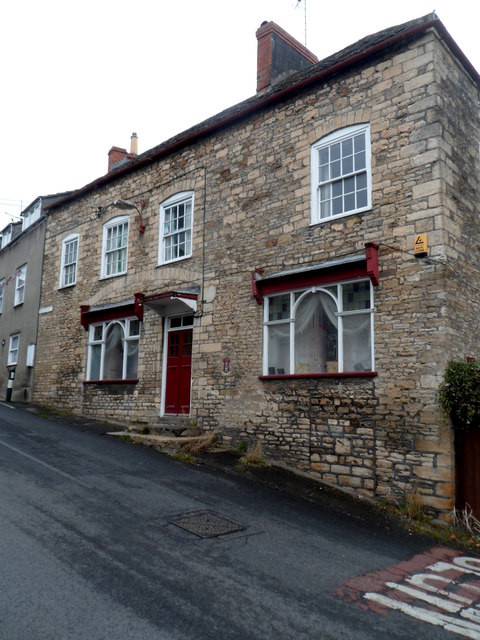
Image: © Jaggery Taken: 28 Oct 2012
Built in the early 19th century, number 5 School Road, at the bottom of Ludgate Hill, was for decades the Shearmans Arms Inn.
Images are licensed for reuse under creativecommons.org/licenses/by-sa/2.0
Image Location
Latitude
51.637446
Longitude
-2.349056