All Saints' church
Introduction
The photograph on this page of All Saints' church by Richard Croft as part of the Geograph project.
The Geograph project started in 2005 with the aim of publishing, organising and preserving representative images for every square kilometre of Great Britain, Ireland and the Isle of Man.

There are currently over 7.5m images from over 14,400 individuals and you can help contribute to the project by visiting https://www.geograph.org.uk
All Saints' church
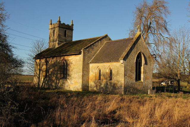
Image: © Richard Croft Taken: 16 Jan 2014
The Domesday survey in 1086 says there was a church at Brauncewell, perhaps on this site, in the surrounding fields are the mounds & hollows of the site of the deserted medieval village of Brauncewell. This church has later medieval origins, of which only the font remains, the rest is mostly early 19th century. It was declared redundant in 1973 and is now in the capable care of the Lincolnshire Old Churches Trust.
Images are licensed for reuse under creativecommons.org/licenses/by-sa/2.0
Image Location
Latitude
53.058727
Longitude
-0.441744