Llwybr Gellionen Path
Introduction
The photograph on this page of Llwybr Gellionen Path by Alan Richards as part of the Geograph project.
The Geograph project started in 2005 with the aim of publishing, organising and preserving representative images for every square kilometre of Great Britain, Ireland and the Isle of Man.

There are currently over 7.5m images from over 14,400 individuals and you can help contribute to the project by visiting https://www.geograph.org.uk
Llwybr Gellionen Path
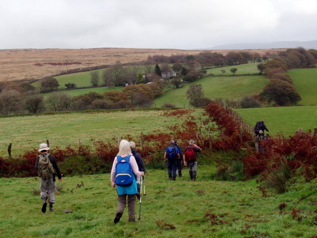
Image: © Alan Richards Taken: 30 Oct 2011
Cerddwyr yn anelu at Gapel Gellionnen, addoldy'r Undodiaid. Y Ffarm yn y pellter yw Gwern Llwyn. Walkers heading for Gellionnen Chapel (trans. ashgrove), a Unitarian meeting house. The farmhouse in the distance is called Gwern Llwyn (trans. aldergrove).
Images are licensed for reuse under creativecommons.org/licenses/by-sa/2.0
Image Location
Latitude
51.720637
Longitude
-3.892356