Queenborough: Site of Sheppey or Queenborough Castle
Introduction
The photograph on this page of Queenborough: Site of Sheppey or Queenborough Castle by Nigel Cox as part of the Geograph project.
The Geograph project started in 2005 with the aim of publishing, organising and preserving representative images for every square kilometre of Great Britain, Ireland and the Isle of Man.

There are currently over 7.5m images from over 14,400 individuals and you can help contribute to the project by visiting https://www.geograph.org.uk
Queenborough: Site of Sheppey or Queenborough Castle
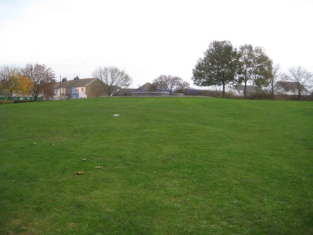
Image: © Nigel Cox Taken: 24 Nov 2013
The castle was built between 1361 and 1377 on the instructions of King Edward III to defend ships travelling along the Swale. It was constructed as a series of concentric circular defensive ringworks, built around a central keep with an outer wall with six towers. It was probably the earliest such castle to be built in England, and possibly the only royal castle to be constructed in the late medieval period. Shortly after it was completed an earthquake brought down several of the towers which were then rebuilt by King Richard II. After surviving for nearly 300 years the Parliamentary Commissioners decided in 1650 that it was in a poor state of repair, and, to use the modern jargon, no longer fit for purpose. Consequently it was rapidly demolished and a lot of the stonework was shipped to London and used around Whitehall. However modern day excavations have shown that the foundations at least survive in good order. The original well at the centre of the castle keep was reopened and deepened in 1725. This was retained in use until the 20th century with a second well sunk next to the first in 1868. The Ordnance Survey map of 1896 shows an engine house on site. The structure at the top of the mound is the present day covering of the well.
Images are licensed for reuse under creativecommons.org/licenses/by-sa/2.0
Image Location
Latitude
51.416198
Longitude
0.748693