More track on the route to Clifton
Introduction
The photograph on this page of More track on the route to Clifton by Alan Murray-Rust as part of the Geograph project.
The Geograph project started in 2005 with the aim of publishing, organising and preserving representative images for every square kilometre of Great Britain, Ireland and the Isle of Man.

There are currently over 7.5m images from over 14,400 individuals and you can help contribute to the project by visiting https://www.geograph.org.uk
More track on the route to Clifton
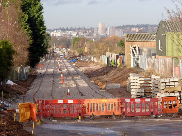
Image: © Alan Murray-Rust Taken: 13 Jan 2014
Looking south from the crossing with Ruddington Lane. The track still needs to be finally aligned and fettled.
Images are licensed for reuse under creativecommons.org/licenses/by-sa/2.0
Image Location
Latitude
52.916546
Longitude
-1.157913