Baptist Chapel, Crawshawbooth
Introduction
The photograph on this page of Baptist Chapel, Crawshawbooth by Len Williams as part of the Geograph project.
The Geograph project started in 2005 with the aim of publishing, organising and preserving representative images for every square kilometre of Great Britain, Ireland and the Isle of Man.

There are currently over 7.5m images from over 14,400 individuals and you can help contribute to the project by visiting https://www.geograph.org.uk
Baptist Chapel, Crawshawbooth
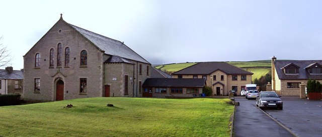
Image: © Len Williams Taken: 11 Jan 2014
The original Baptist chapel was built on a hill at Goodshaw refer to picture Image The current Baptist Chapel is in the village of Crawshawbooth.
Images are licensed for reuse under creativecommons.org/licenses/by-sa/2.0
Image Location
Latitude
53.729241
Longitude
-2.287794