Old entrance to Clarence Graving Dock
Introduction
The photograph on this page of Old entrance to Clarence Graving Dock by Bikeboy as part of the Geograph project.
The Geograph project started in 2005 with the aim of publishing, organising and preserving representative images for every square kilometre of Great Britain, Ireland and the Isle of Man.

There are currently over 7.5m images from over 14,400 individuals and you can help contribute to the project by visiting https://www.geograph.org.uk
Old entrance to Clarence Graving Dock
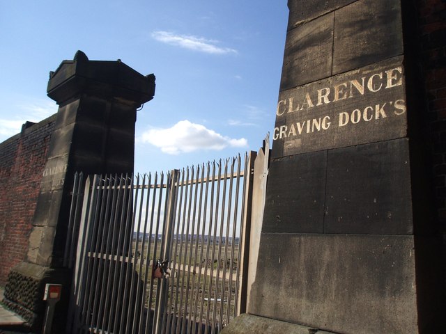
Image: © Bikeboy Taken: 5 Apr 2012
Clarence dock opened in 1830. It was filled in in 1929 but the graving (dry) dock remains and is still used.
Images are licensed for reuse under creativecommons.org/licenses/by-sa/2.0
Image Location
Latitude
53.418987
Longitude
-3.000113