Nant Cynffig near Fountain level crossing
Introduction
The photograph on this page of Nant Cynffig near Fountain level crossing by Jaggery as part of the Geograph project.
The Geograph project started in 2005 with the aim of publishing, organising and preserving representative images for every square kilometre of Great Britain, Ireland and the Isle of Man.

There are currently over 7.5m images from over 14,400 individuals and you can help contribute to the project by visiting https://www.geograph.org.uk
Nant Cynffig near Fountain level crossing
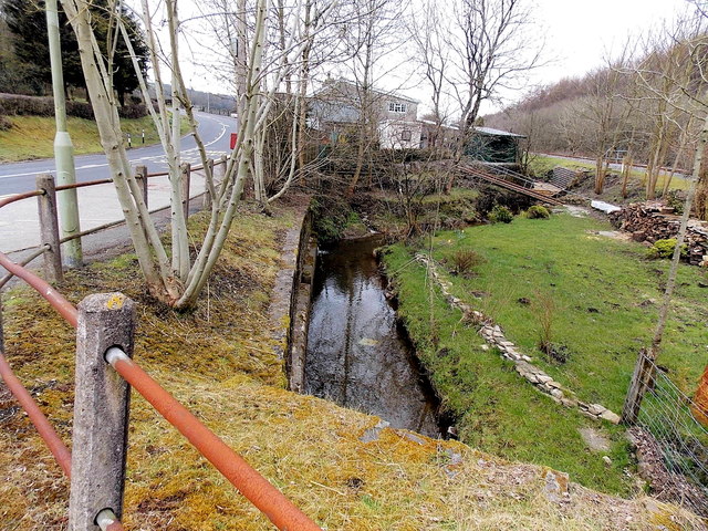
Image: © Jaggery Taken: 27 Mar 2013
Viewed from near this http://www.geograph.org.uk/photo/3812595 level crossing. The stream Nant Cynffig is a tributary of the Ogmore. http://www.geograph.org.uk/photo/3384683
Images are licensed for reuse under creativecommons.org/licenses/by-sa/2.0
Image Location
Latitude
51.538847
Longitude
-3.613132