A251 junction with Sandyhurst Lane
Introduction
The photograph on this page of A251 junction with Sandyhurst Lane by Stuart Logan as part of the Geograph project.
The Geograph project started in 2005 with the aim of publishing, organising and preserving representative images for every square kilometre of Great Britain, Ireland and the Isle of Man.

There are currently over 7.5m images from over 14,400 individuals and you can help contribute to the project by visiting https://www.geograph.org.uk
A251 junction with Sandyhurst Lane
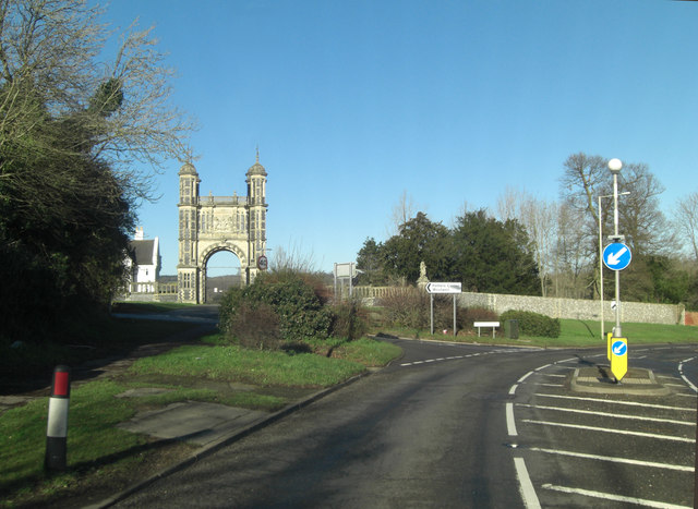
Image: © Stuart Logan Taken: 11 Jan 2014
To the left of the picture stand Tower Lodge and the flanking Walls of Eastwell Park. The tower is Grade II listed with English Heritage Building ID: 181369. It was constructed in 1848 by William Burn.
Images are licensed for reuse under creativecommons.org/licenses/by-sa/2.0
Image Location
Latitude
51.176658
Longitude
0.880653