The Wall House
Introduction
The photograph on this page of The Wall House by Ian Capper as part of the Geograph project.
The Geograph project started in 2005 with the aim of publishing, organising and preserving representative images for every square kilometre of Great Britain, Ireland and the Isle of Man.

There are currently over 7.5m images from over 14,400 individuals and you can help contribute to the project by visiting https://www.geograph.org.uk
The Wall House
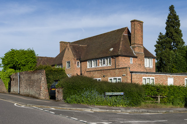
Image: © Ian Capper Taken: 3 Jun 2013
1920s/early 1930s house in Yorke Road, now housing a doctors' surgery.
Images are licensed for reuse under creativecommons.org/licenses/by-sa/2.0
Image Location
Latitude
51.241324
Longitude
-0.208291